Inspection-grade aerial data for commercial buildings.
Every engagement is flown by a certificated pilot and delivered as measurable, documented findings — not just photographs. One operator for thermal, facade, envelope, mapping, 3D and progress capture.
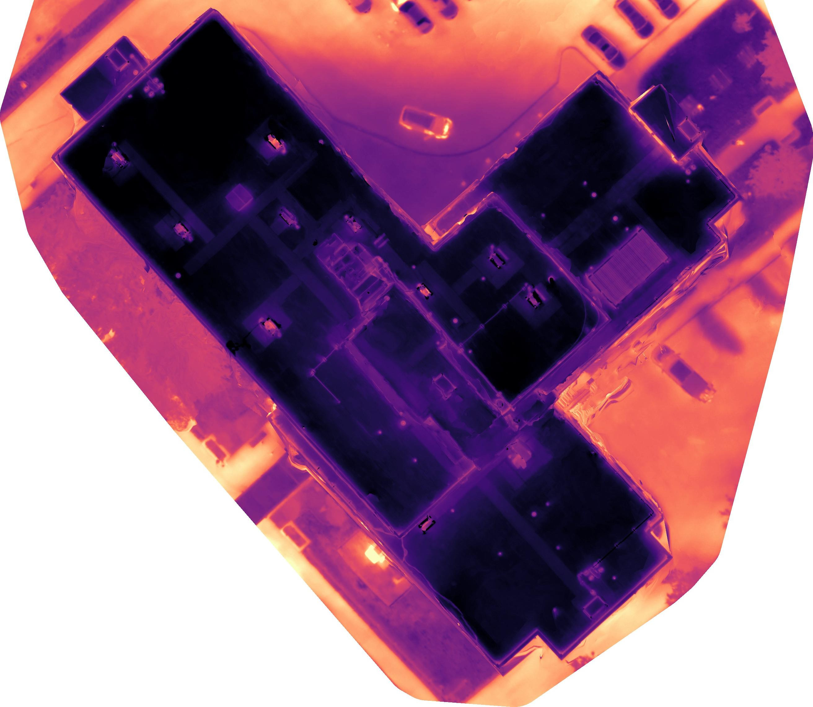
Thermal roof inspections
Radiometric thermography reveals subsurface moisture, saturated insulation and membrane defects invisible to the naked eye. Flown at the right time of day for maximum thermal contrast, then mapped to the roof plane.
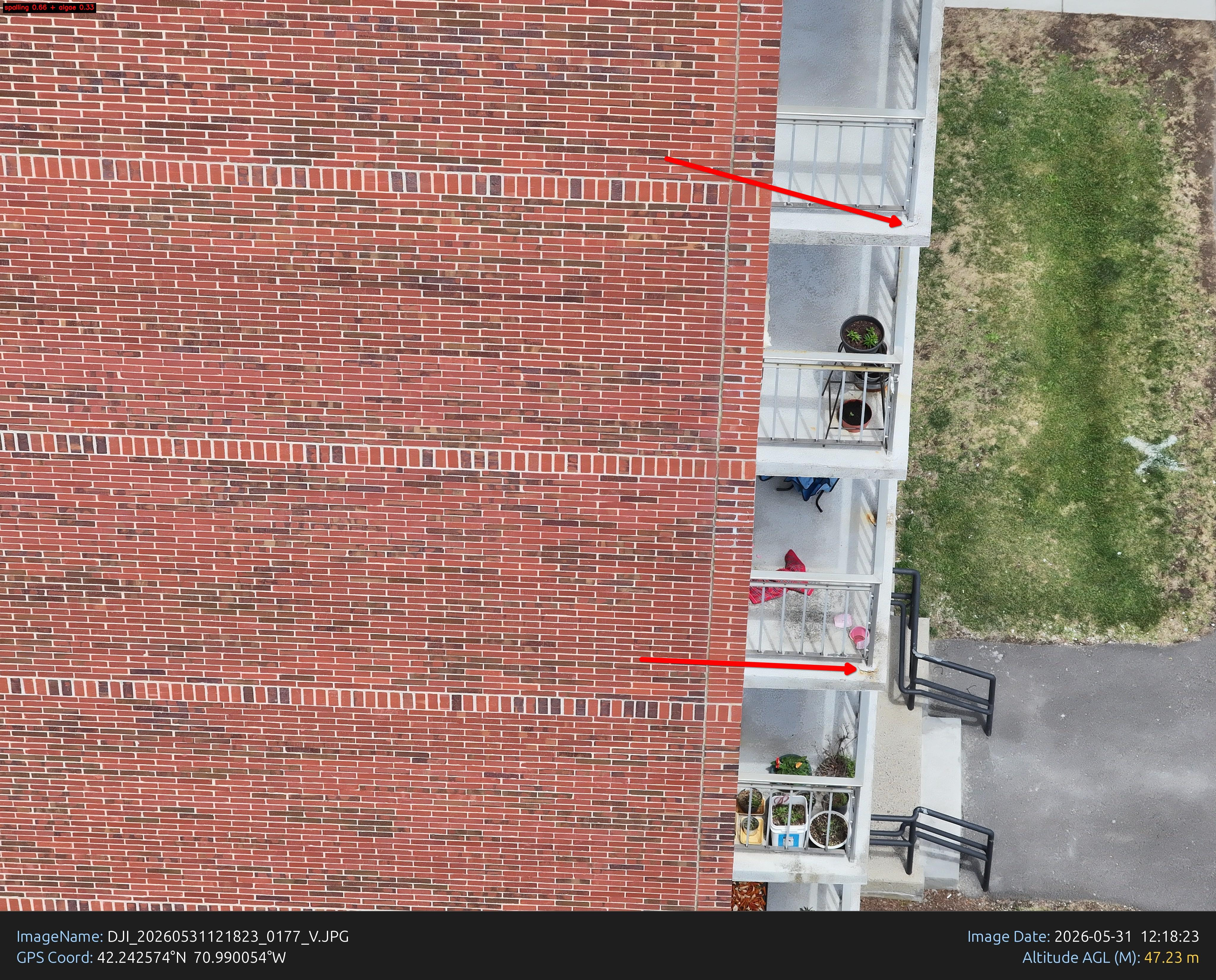
Facade & cladding inspections
Document spandrel glass, sealant, masonry and panel systems at close range — without scaffold, swing stage or lane closures. Every elevation indexed, annotated and logged.
Building envelope inspections
A combined thermal and visual capture of the entire building envelope, packaged as a single condition report your facilities and capital-planning teams can act on.
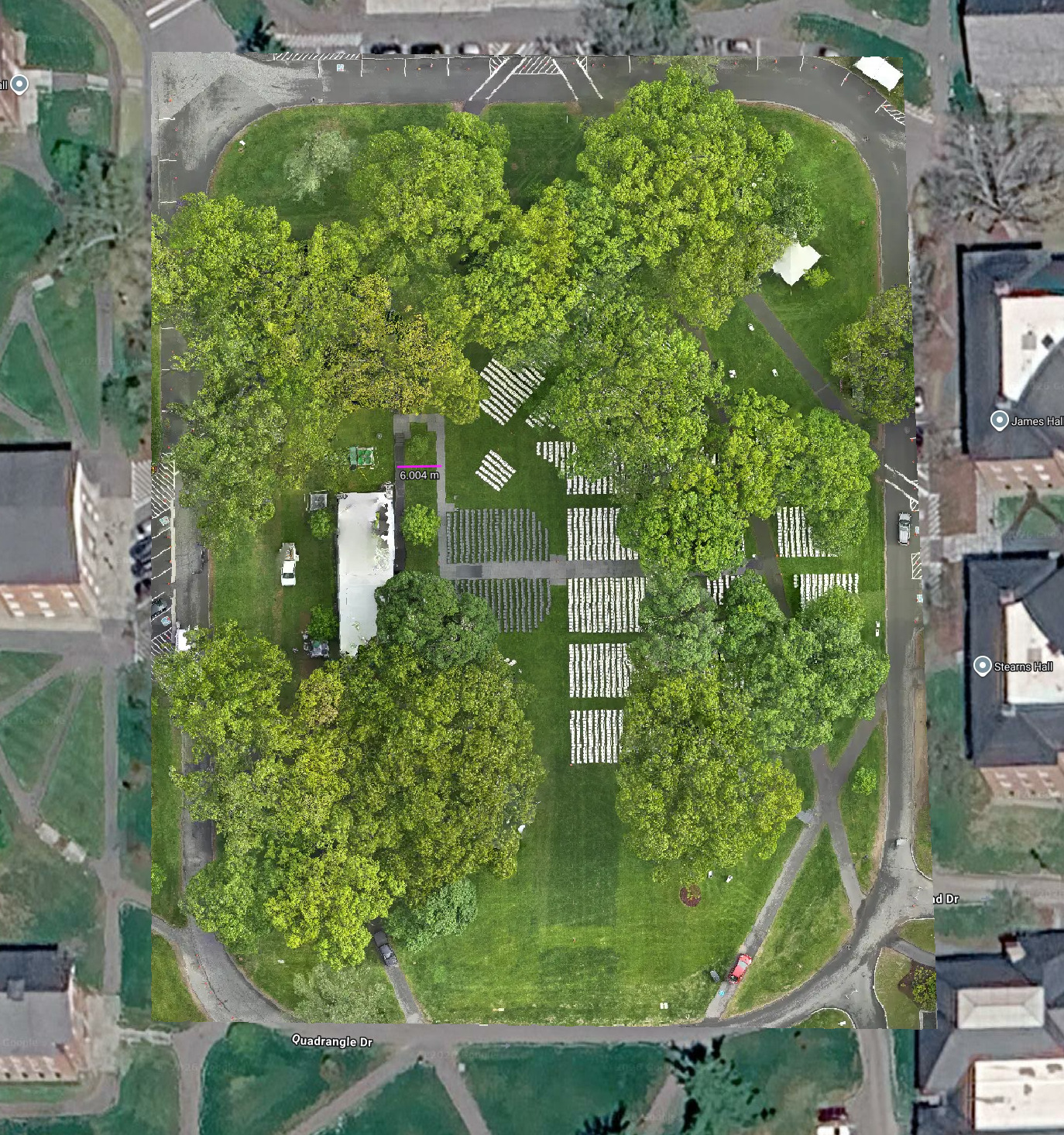
2D RTK ortho maps
Geo-referenced orthomosaics flown with RTK positioning for centimeter-grade accuracy — ready for area takeoffs, condition assessment and site progress measurement in your own GIS.
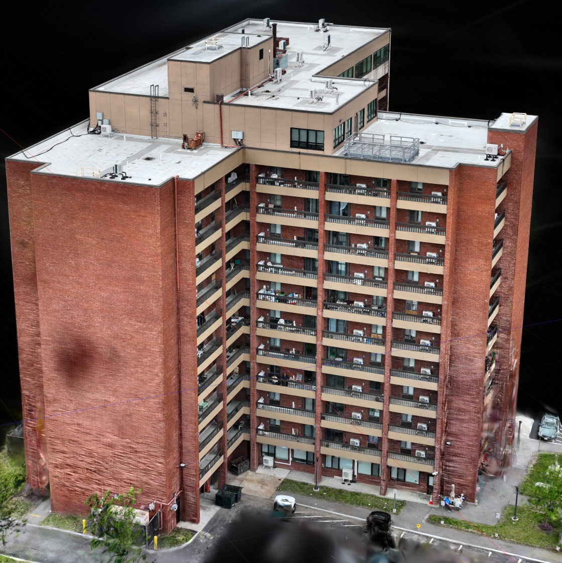
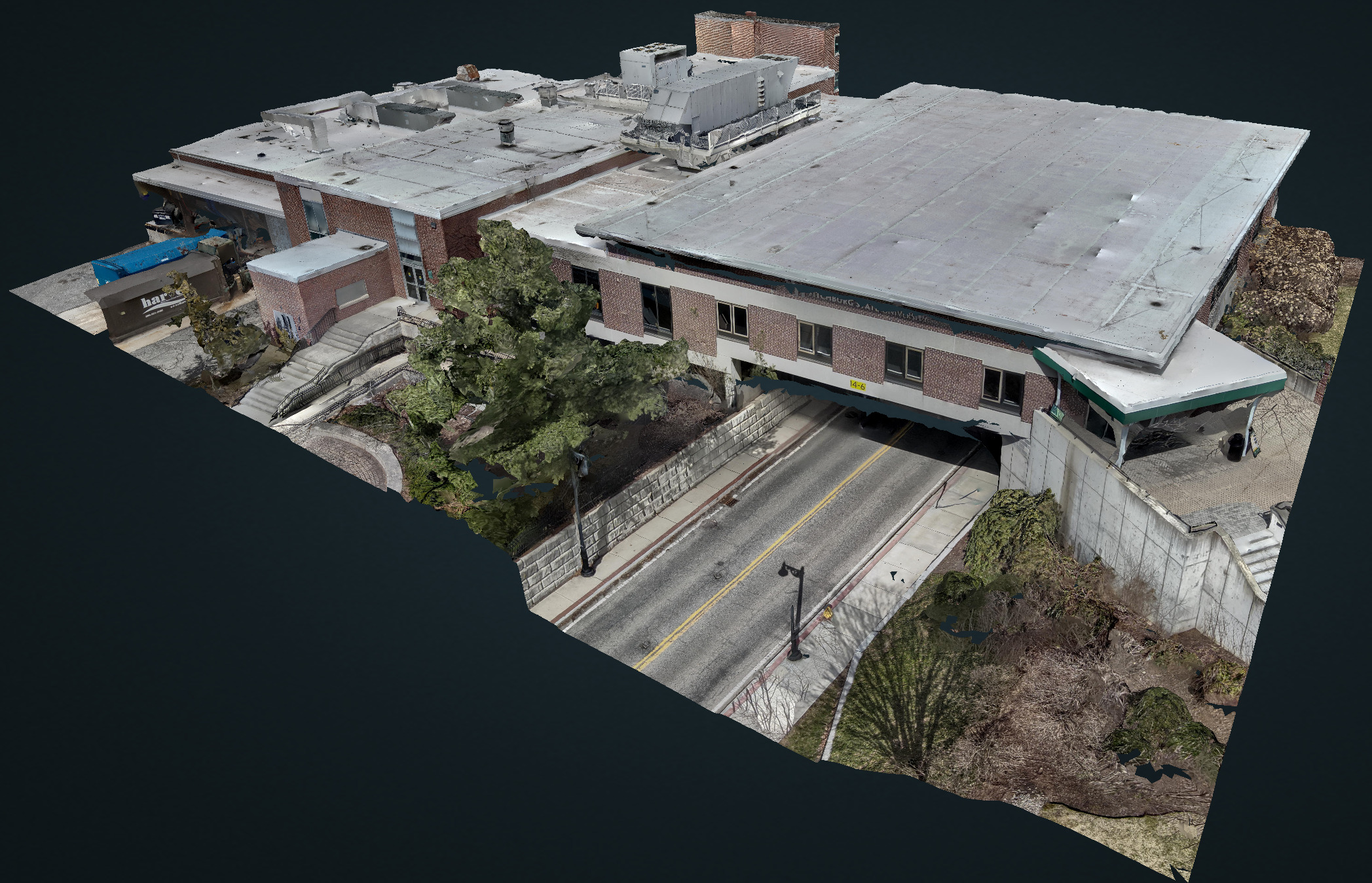
3D digital twins
Photoreal, measurable 3D twins built with Gaussian-splat reconstruction — richer than traditional photogrammetry and explorable in any browser, no plugin required.
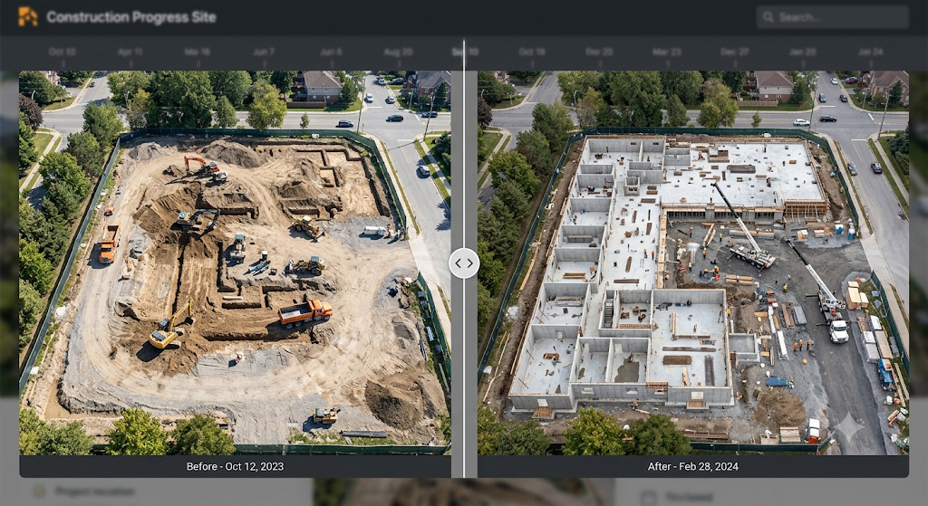
Construction progress imagery
Scheduled aerial documentation across the build, giving owners, GCs and lenders a verifiable, time-stamped visual record of progress over the life of the project.
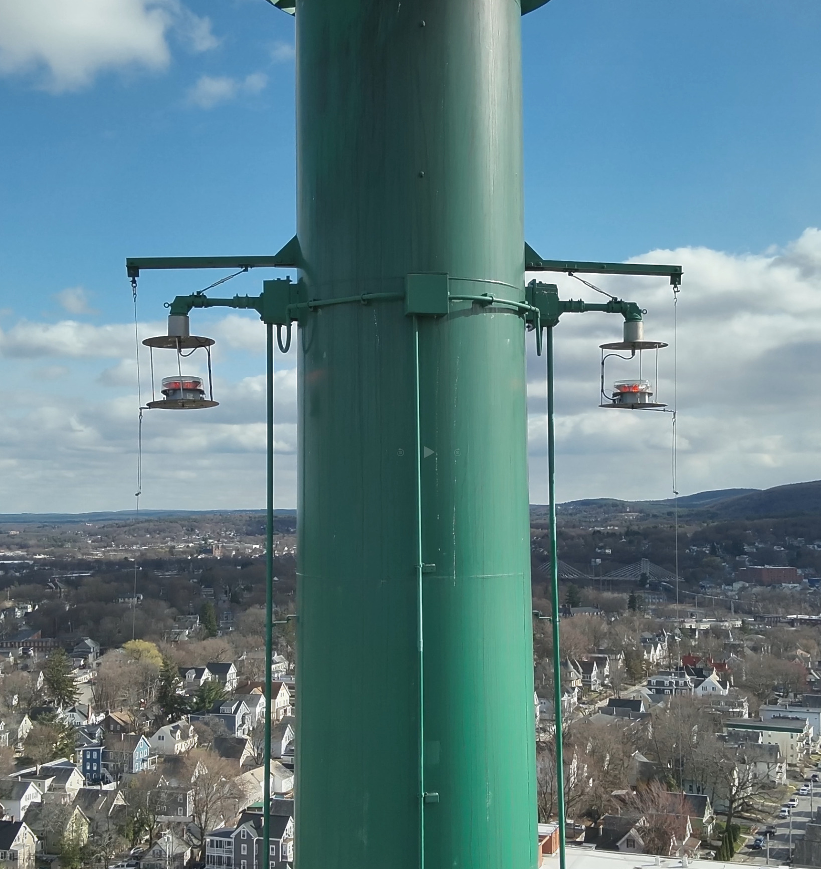
Tower & structure inspections
Safe, close-range visual inspection of towers, stacks and tall structures — capturing connections, coatings and corrosion without putting a climber at height.
Every flight ends in a deliverable.
No raw dump of photos — structured, measurable outputs your team can act on.
Annotated inspection report
PDF with flagged anomalies, locations and severity ratings.
Radiometric thermal imagery
Temperature-calibrated images, not just color pictures.
RTK ortho maps & 3D twin
Geo-referenced, measurable outputs you can open in the browser.
Raw capture archive
Full-resolution stills and flight logs retained for your records.