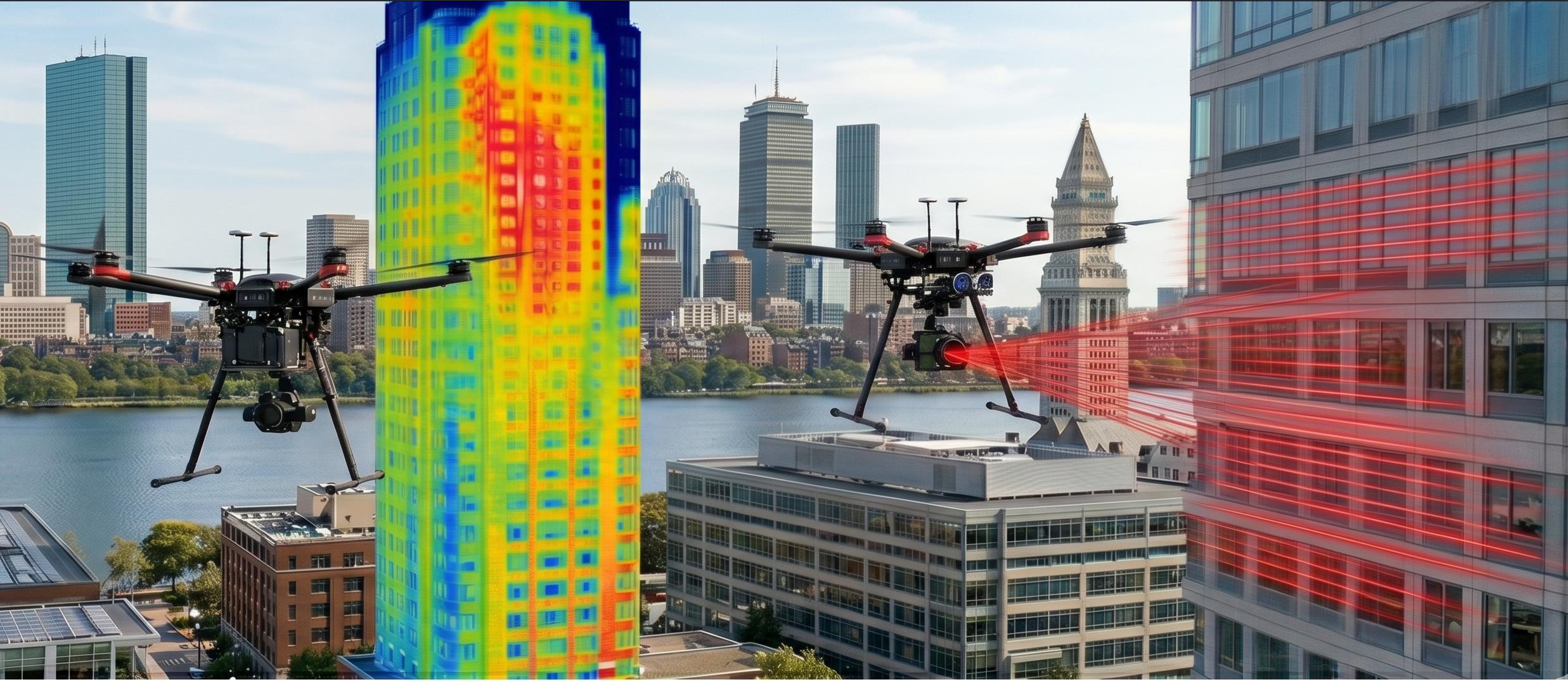
One operator for the whole building envelope
You seal the report. We put the whole wall in front of you first.
Facade ordinance inspections, envelope condition assessments and forensic investigations all start the same way: someone has to get eyes on the wall. Swing stages, boom lifts, crane baskets and sidewalk staging make that slow, costly and disruptive before a single finding is written. NEDS flies the complete envelope first and hands you organized, elevation-indexed close-range imagery and radiometric thermal data, so your hands-on time goes exactly where the conditions are.
A drone does not replace your hands-on examination. §9-9.12 still requires it, and no drone can sound masonry or pull on adhered materials. What it does is make sure the scaffold goes where the problems are.
Working a Boston exterior-wall inspection? See how drone imagery fits Boston facade ordinance §9-9.12 inspections, review a sample thermal inspection report, or read the questions engineers ask us.
Drone-first, hands-on where it counts.
We work under your direction as the Registered Professional. You set the scope, you choose the drops, you sign. We make sure nothing on the wall goes unseen.
- 01
Scope it with you
Elevations, areas of concern, target Ground Sample Distance (GSD) and airspace authorization agreed before we fly.
- 02
Fly the full envelope
Overlapping close-range passes of every elevation, plus radiometric thermal when moisture or air leakage is in scope.
- 03
You pick the drops
Imagery arrives indexed by elevation and floor. You mark the locations that warrant hands-on examination.
- 04
You seal the report
Our documented, dated imagery goes straight into your Exterior Wall Inspection Report or condition assessment.
Deliverables engineers can cite, measure and file.
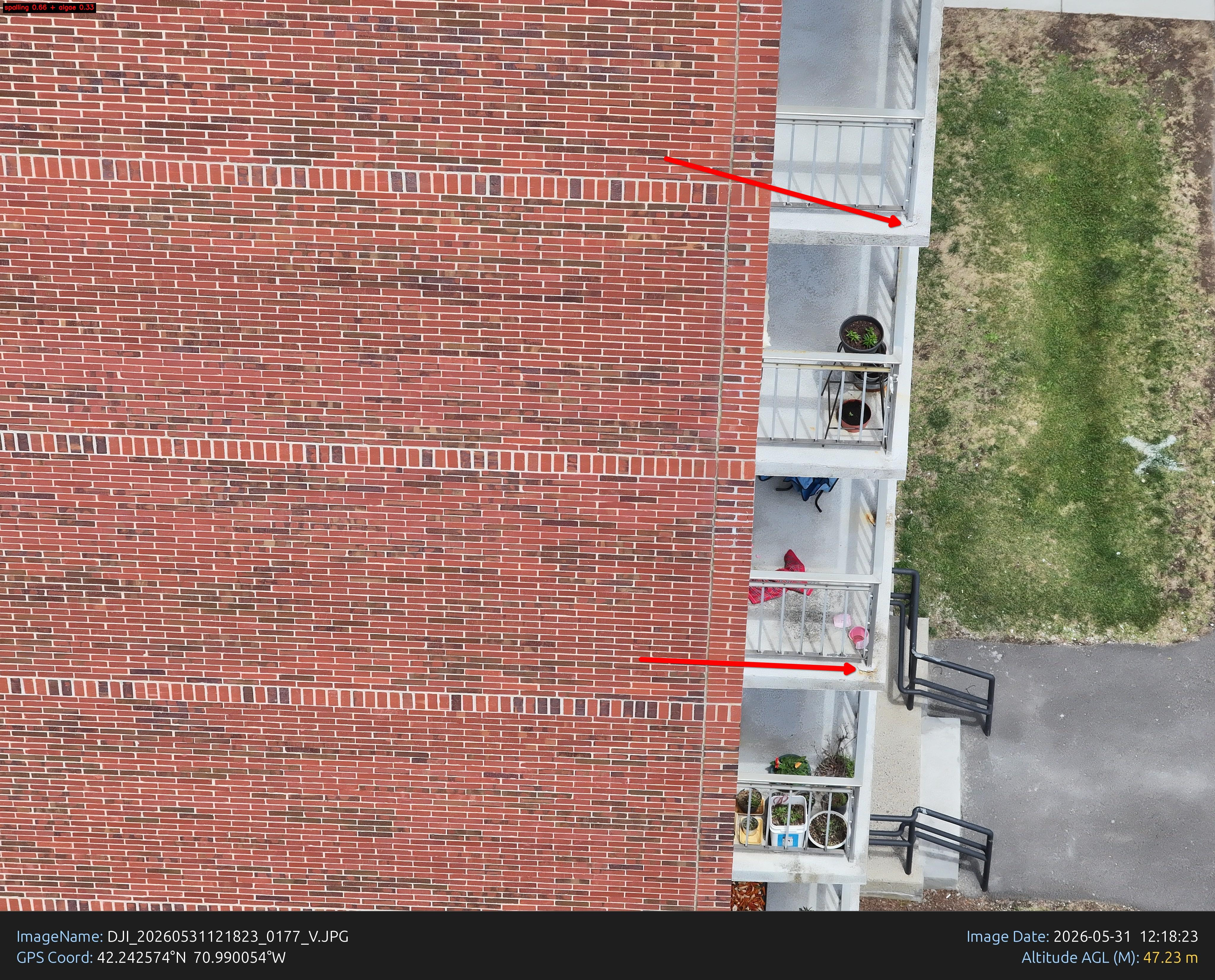
Elevation-indexed imagery
Full-resolution close-range photographs organized by elevation, floor and bay, ready to cite and annotate.
Radiometric thermal
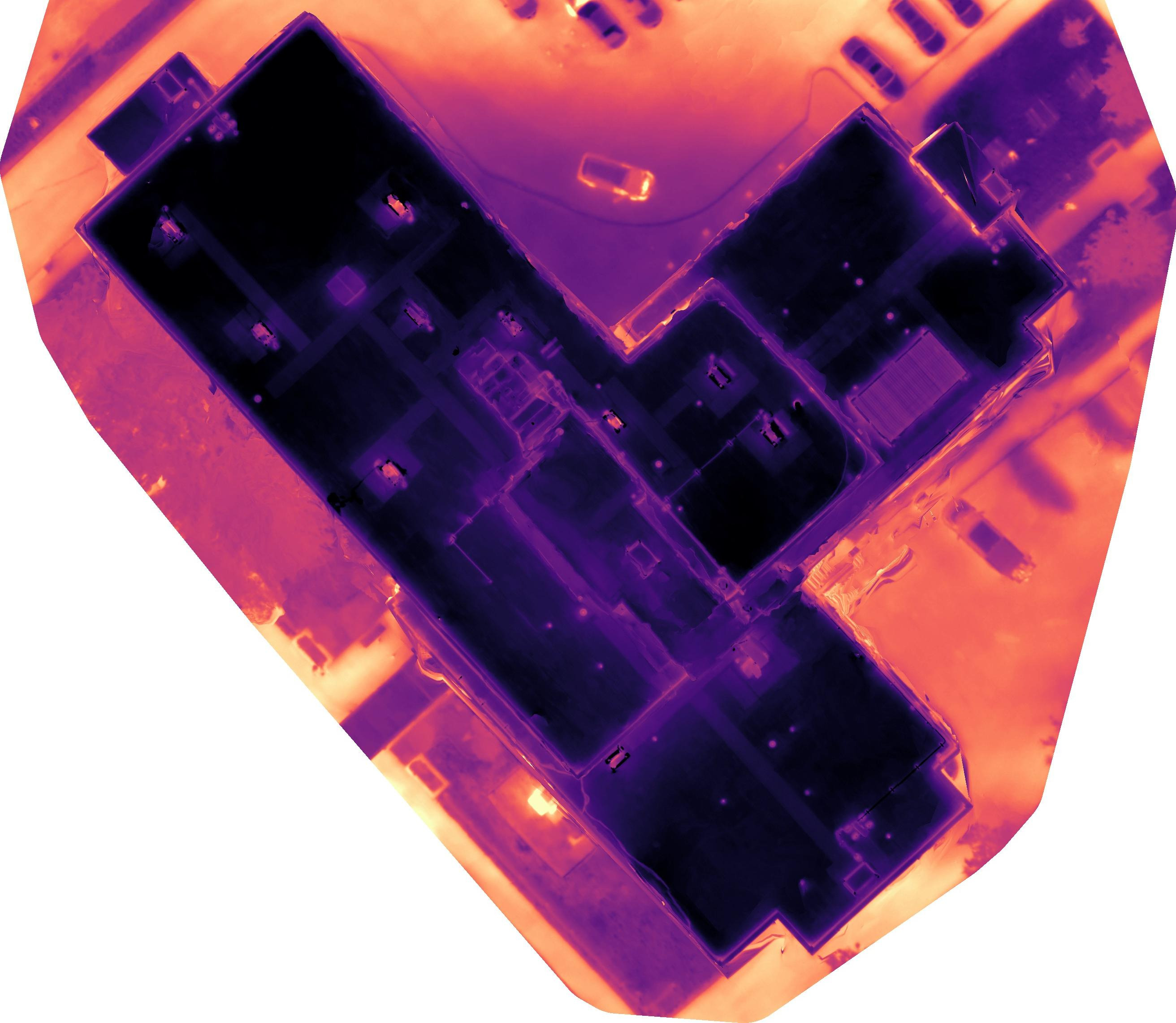
Temperature-calibrated infrared captured and interpreted by an Infrared Training Center (ITC) Level 1 thermographer.
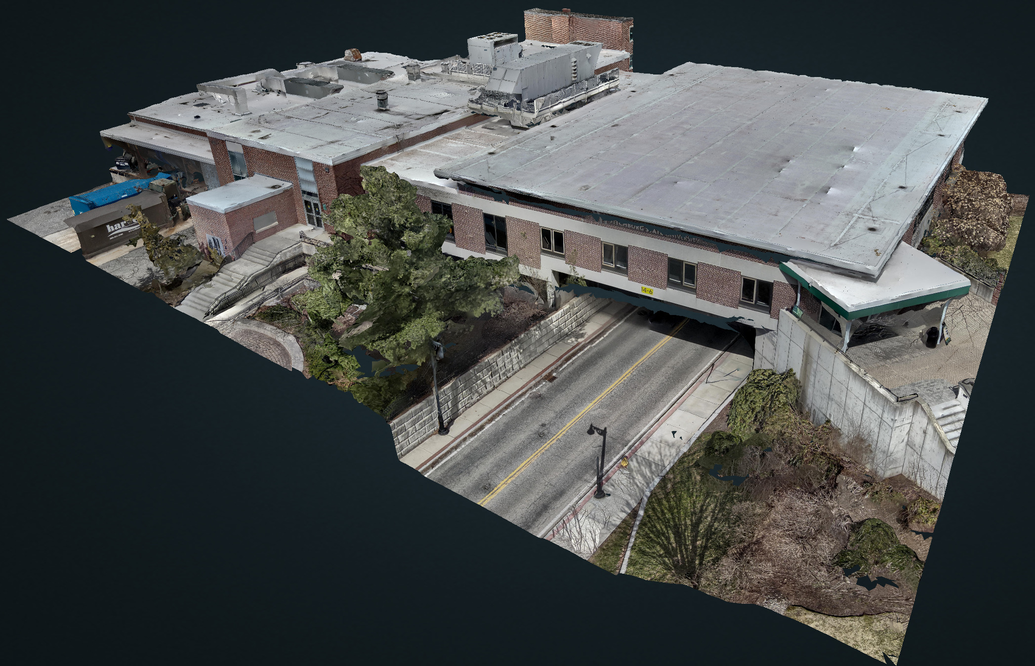
Measurable 3D model
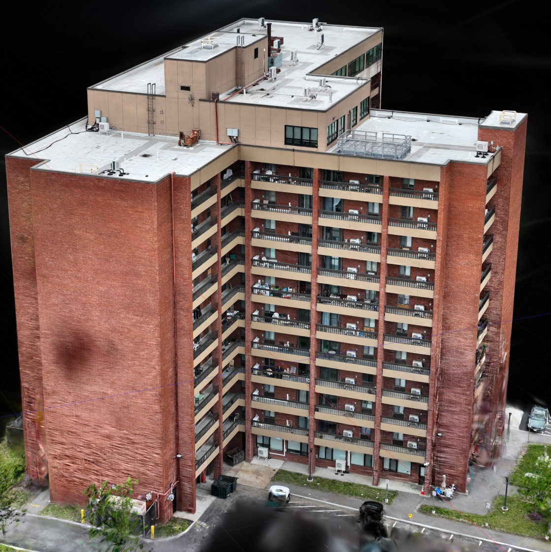
Photogrammetric existing-conditions model you can measure in the browser, with point-cloud export for Computer-Aided Design (CAD) and Building Information Modeling (BIM).
Real-Time Kinematic (RTK) roof maps
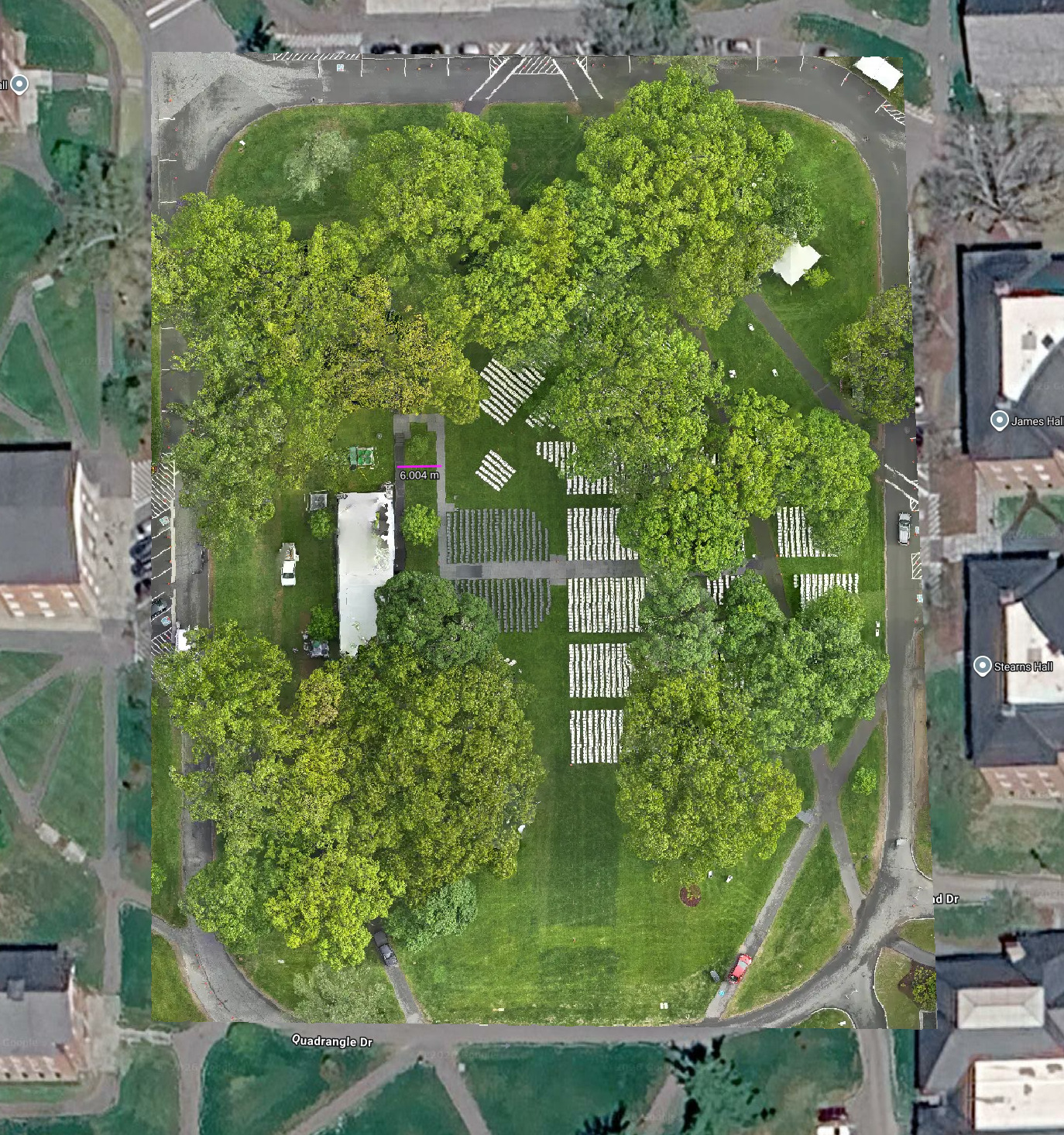
Centimeter-referenced orthomosaics of roof planes for area, condition mapping and takeoffs.
Your data, unfiltered
Original images with full metadata, not just the curated set. Your file, your record.
Cycle-over-cycle baseline
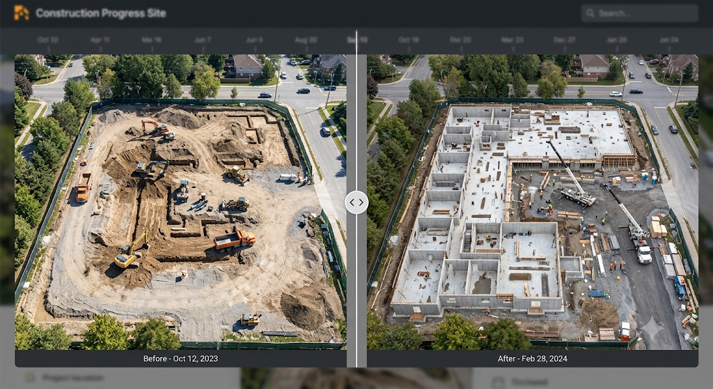
Repeat the same flight plan next cycle and compare conditions wall by wall.
An AI-assisted workflow, from flight plan to report
NEDS uses an AI-accelerated processing pipeline — so analysis that used to take weeks lands on your desk in days.
Plan the flight
Airspace check, site brief and a scoped capture plan for your asset.
Capture on site
Radiometric thermal, RTK and visual passes flown by a Part 107 pilot.
AI-assisted processing
Automated alignment, anomaly detection and 3D reconstruction flag what matters.
Deliver the report
Annotated findings, measurements, maps and 3D twins — in 3-5 business days.
A photoreal digital twin of your asset.
Our latest capability uses Gaussian-splat reconstruction to build true-to-life, 3D models — far richer than traditional photogrammetry. Fly around your building in your browser to see a photo realistic view of your building and share a link with your whole team.
Find the fault before it finds your roof.
Request a callPut a thermal camera over your building this week.
Tell us about the building and we'll set up a quick call or Zoom to scope the flight.
Request a call